FLYZONE · Istanbul, Türkiye
HUR-UAV-01
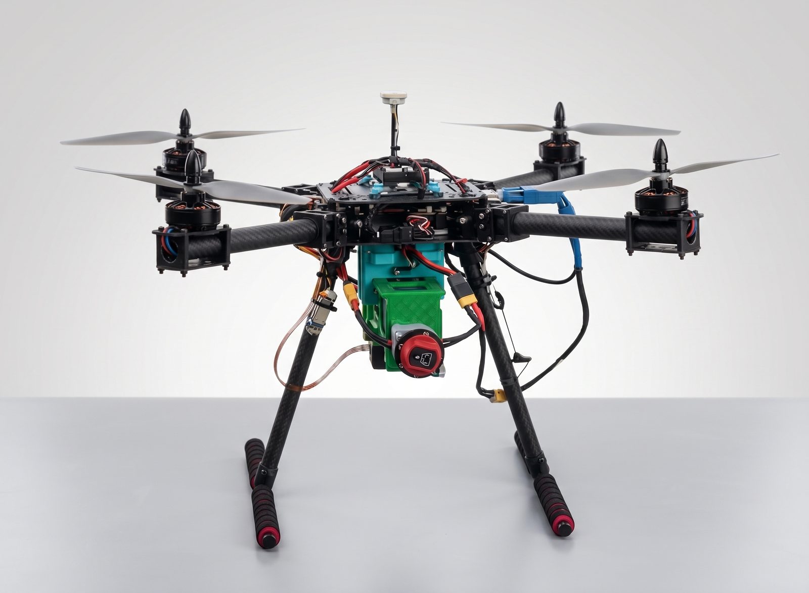
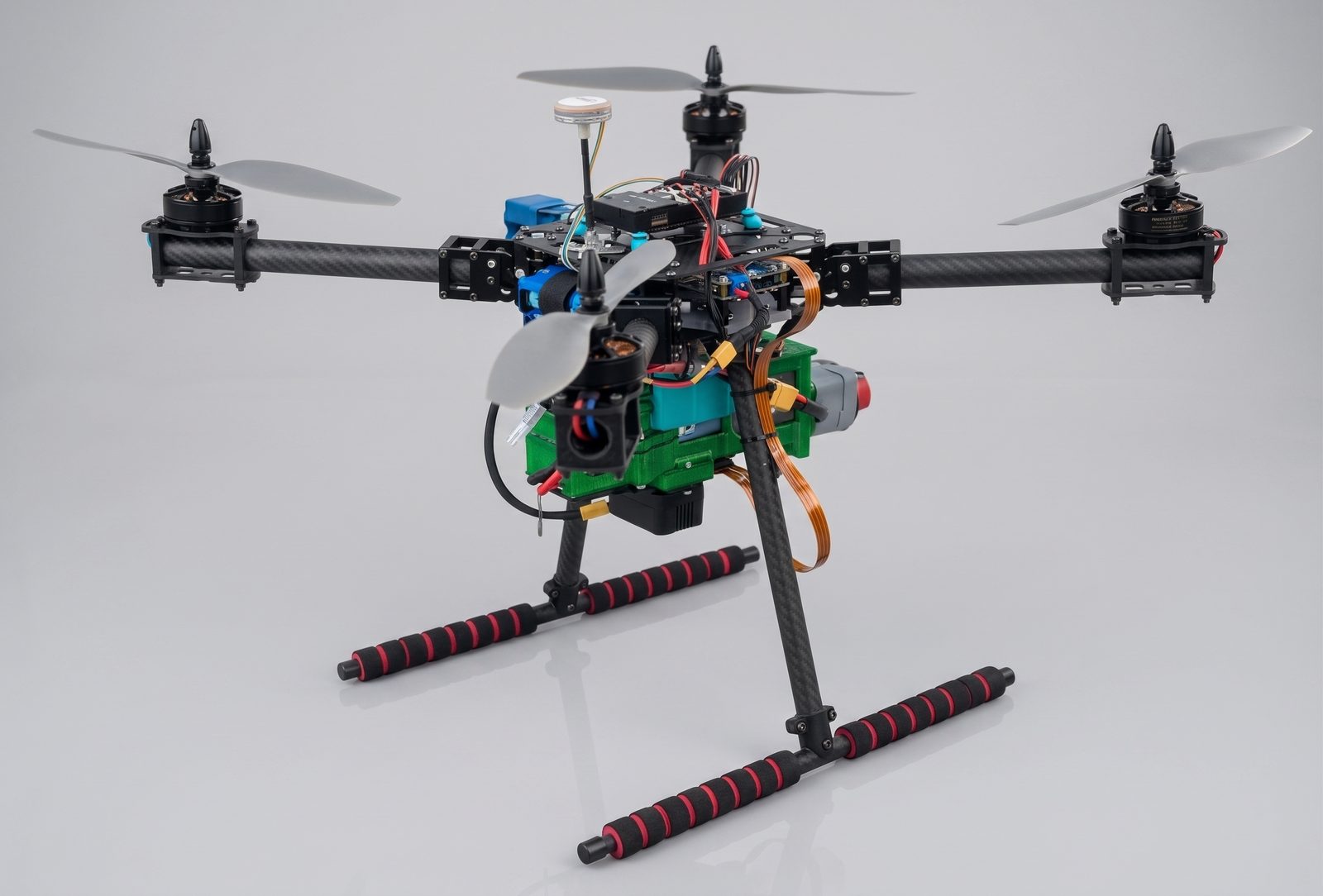
Smart Navigation Beyond GPSAn advanced multirotor UAV platform engineered for stable, precise flight where GPS signals are weak or unavailable. Its sensor-fusion architecture combines optical flow, LiDAR, barometric and inertial data to support controlled flight in the most demanding field conditions.
About Us
FLYZONE: Smart Flight Engineering From the Heart of Istanbul
FLYZONE is a leading developer of cutting-edge drone technology. Our expertise lies in engineering high-performance flight systems and integrated software solutions, providing the tools necessary for safer, smarter, and more efficient aerial operations.
Our engineering team operates out of Zaim Teknopark at Istanbul Sabahattin Zaim University, within a research-driven environment that supports the continuous development of the HUR-UAV-01 platform in collaboration with universities, research centers and Teknofest teams.
Technology
An Integrated Sensor Architecture for Reliable Flight Without GPS
HUR-UAV-01 brings together multiple layers of sensing and rugged field engineering, so flight stays stable and precise even when satellite signal is unavailable.
GPS-Denied Navigation
Precision stabilization without relying on GPS

Optical Flow Camera
Tracks ground motion frame-by-frame, with an effective ceiling of up to 35 meters.
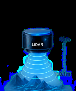
LiDAR Distance Sensor
High-speed altitude measurement from 0.1 m up to 40 m.

Improved EKF
Fuses optical flow, barometer and magnetometer data to reduce IMU drift and support position hold.

Multi-Sensor Fusion
Integrates camera, barometer, magnetometer and IMU data into a single decision model.
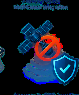
Immune to GPS Jamming
Stable flight with no reliance on any external signal.

Dual Operating Modes
Operate with GPS or in GPS-denied mode, switching according to the mission scenario.
AI Object Detection & Tracking
Intelligent visual awareness
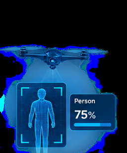
Automatic Object Detection & Tracking
Integrated computer vision automatically detects and tracks targets, with reported confidence levels up to 75% depending on target, scene and model configuration.
* Actual detection and tracking performance varies by scene, target, lighting and field conditions.
Engineering & Reliability
Designed for demanding field conditions

Dual-IMU
Redundant inertial sensing for a more robust estimate of flight state.
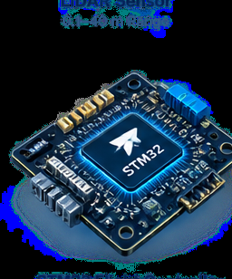
STM32 Flight Controller
Fast embedded processing for real-time flight control.
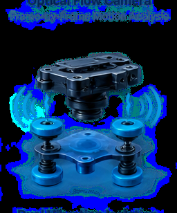
Dual Vibration Isolation
Dedicated damping for the flight controller and guidance sensors.

Open-Source Hardware
A flexible, modifiable architecture — ideal for research and Teknofest projects.
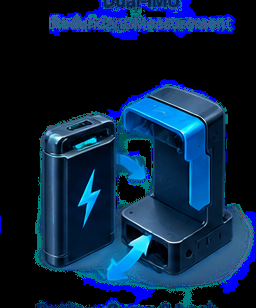
Rapid Battery Swap
Integrated locking and quick-change workflow that maximizes real time in the field.
Who It's For
One Platform, Many Needs in the Turkish Market
HUR-UAV-01 is built to serve different sectors that need reliable flight in demanding or GPS-denied environments.
Companies & Industry
- Industrial mapping and inspection
- Field security and surveillance
- Urban operations without relying on GPS
- Rapid response in sensitive sites
Universities & Research Centers
- Open-source R&D platform
- Graduate, master's and PhD projects
- Sensor-fusion and autonomous-navigation research
- Custom payload and software
Teknofest & Academic Teams
- Ready-made platform for GPS-denied navigation algorithms
- On-the-ground technical support from an Istanbul-based team
- Spare parts availability and fast response
- Delivery within 7 business days
Government & Institutions
- Search and rescue operations
- Emergency response in complex urban environments
- Training programs for technical teams
Technical Specifications
Real Numbers From the HUR-UAV-01 Technical Brochure
* The values above are taken from the official HUR-UAV-01 (FLYZONE) technical brochure and may vary with payload configuration and operating conditions.
Why FLYZONE
A Trusted Technology Partner for the Turkish Market
Unique Expertise in GPS-Denied Navigation
Built around the needs of complex urban areas and regions without reliable satellite signal.
Open-Source Hardware
A customizable, modifiable architecture suited to university projects and Teknofest teams.
An Engineering Team Based on Campus
We operate out of Zaim Teknopark at Istanbul Sabahattin Zaim University, within a supportive research environment.
Delivery Within 7 Business Days
Ongoing field and technical support after delivery.
A Direct WhatsApp Line
Available 24/7, with an AI-assisted instant-reply assistant coming online soon.
Support in Three Languages
Arabic, Turkish and English — covering the full range of customers and partners.
Gallery
A Closer Look at HUR-UAV-01
Pricing & Orders
HUR-UAV-01 Purchase Information
Price, delivery and payment terms are stated clearly below.
HUR-UAV-01
A multirotor autonomous UAV platform for GPS-denied environments: optical flow, LiDAR, dual IMU and AI-assisted target detection.
- Product
- HUR-UAV-01 multirotor UAV
- Delivery time
- Within 7 business days of order confirmation and upfront payment
- Payment terms
- 50% upfront (at order confirmation), 50% upon delivery
- Payment method
- iyzico secure payment infrastructure
- Seller
- ENERGCO ENERJİ YÖNETİM DANIŞMANLIK SANAYİ VE TİCARET LİMİTED ŞİRKETİ


Price excludes VAT. Before purchasing, please read our Delivery and Return Conditions, Distance Sales Contract and Privacy Policy.
FAQ
Everything You Need to Know Before Reaching Out
Can the platform be customized for research or Teknofest projects?
Yes. The hardware is open-source by design, which allows the payload, software and navigation algorithms to be adapted to your research project or competition challenge.
Does it really fly without a GPS signal?
Yes — through the integration of optical flow, LiDAR, barometric data and an improved EKF, with the ability to switch between GPS and GPS-denied modes depending on the mission scenario.
How accurate is the AI object detection?
Detection and tracking confidence can reach up to 75%, depending on the target, scene and model configuration; actual performance varies by mission conditions.
How fast is delivery within Turkey?
Standard delivery is within 7 business days of order confirmation and upfront payment.
Is technical support and training provided after purchase?
Yes, our engineering team provides technical support and training for operating teams, with a direct WhatsApp line available 24/7.
How do I get a quote for my institution or university?
Reach out via WhatsApp or the contact form below, and our team will respond with a tailored quote and technical consultation.
Contact
Let's Talk About Your Project
Our team in Istanbul is ready to answer your technical and commercial questions, and provide tailored consultation for your company, university or Teknofest team.
Direct Contact Information
Our team is available around the clock on WhatsApp to answer your questions. An AI assistant will soon be activated to follow up instantly and document every conversation.